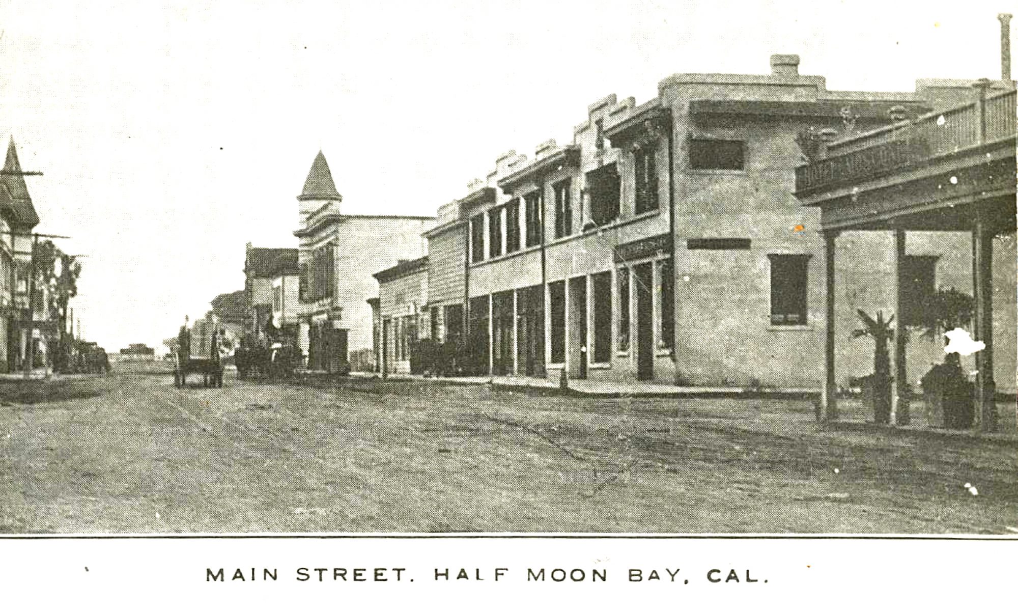
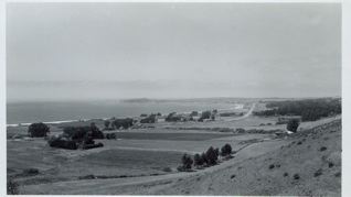
Note: The language in this report could have been simpler!
From: Coastside Cultural Resources of San Mateo County, California (Prepared by the Dept. of Environmental Management, Planning Division, San Mateo County, Redwood City, Calif., Sept, 1980
5
The Protection Program
The program to protect coastal cultural resources is composed of various methods and implementation techniques. A major component in this program is delineating scenic corridors that define the space in which a majority of the cultural resources are located. It is here that the protection program will be most influential. Another area of great importance is community design, for in urban areas outside scenic corridors the design review process becomes a key element in protecting cultural resources. Also, the Historical and Cultural Resources Element to the County General Plan, Historic and Cultural Resources Protection Ordinance, and Historic Resources Advisory Board are major factors in protecting historic buildings and structures.
….The protection program describes (1) methods presently employed in San Mateo County and (2) additional methods of protection which may be used to supplement this program.
A. Methods of Protection in San Mateo County
1. Scenic Corridors
It became clear during the inventory process that coastal cultural resources are almost always included within the scenic corridor, or viewshed, of a roadway. Because of its rugged terrain, there are few roads on the San Mateo coast, and these are restricted to the coastal terrace and the valleys which cut into the mountainsides. It was along these limited lines of transportation, and at their cross-roads, that the majority of the early structures which grace the landscape were built. Along these roadways, are also visible the great variety, grandeur, and beauty of the coastal landscape.
As the study evolved, it became increasingly evident that in rural areas a program based on view corridors along coastal roads provided a logical and practical approach to protecting cultural resources in their natural setting. In large undeveloped regions, such as the San Mateo Coastside, any preservation and protection program must be looked at in terms of the total environment. Preservation must include not just man-made features, but an area lrge enough to sustain the qualities of th vast, open landscape that is so essential in maintaining the traditional character of the small towns and villages, farmsteads, and historical and cultural structures.
a. Scenic Roads Element
The Scenic Roads Element of the County General Plan establishes a system of County scenic roads and sets forth a program for the protection and enhancement of scenic qualities within adjacent scenic corridors. The scenic roads designated in the Element provide the basis for the system delineated in this program.
b. Delineation of Scenic Corridors
Scenic corridors are generally described as “the view from the road” and can best be defined as the visible land area outside a road right-of-way. Scenic corridors have been defined for all roads in the Coastal Zone designated as scenic roads in the Scenic Roads Element. They vary in width according to topography and vegetative cover; flat open areas will have wider corridors than steep, narrow canyons or densely wooded areas. The criteris is used for defining scenic corridors are based on those developed by the State of California for Official State Scenic Highways. These criteria have been used as general guidelines.
Table III
Criteria for delineating scenic corridors
Vision: Angle and Duration of View.
Passengers in an automobile generally have a wide sweep of vision. Cyclists and hikers have even a wider scope. The angle at which the landscape features may be seen from the roadway, in both directions of travel, the foreground features framing them, and the period of time they can be observed all bear on the delineation of the corridor and must be taken into consideration.
Range of visibility: Topography
When landforms, such as the crest of a ridge brings the range of vision from the roadway close to the right-of-way (e.g., half a mile), the entire visible area should be included in the corridor.
Vegetation
Timber areas such as wind breaks, hedge rows, small orchards, etc., may constitute a screen at the edge of the road. Such a screen may be removed by land use change, ae, fire, or cutting. Consideration should be given to locating the corridor boundaries beyond this type of screen and into land otherwise visible from the roadway.
Distant Visibility
Where distant horizons or vast panoramas are visible from the roadway, a corridor boundary closer than the visual range may be selected on criteria other than visibility. Protection regulations which are enforced as a part of the implementation program should be realistically limited to land having the greatest impact. In some cases, distant vistas may be located outside the boundaries of the jurisdiction having authority over control of the resources and to include such areas is not feasible.
Landscape Characteristics
Man-Made Features
This includes all resources of historical, cultural, or architectural significance together with their physical setting. This should also include cases where the structure or site is not actually visible from the roadway but the grounds or landscape setting of which the resource is a part or closely identified with is, i.e., heavily wooded estates, remote farmhouses, old cemeteries, etc.
Natural Features
This includes outstanding scenic features of topographic, vegetative, and water forms such as beaches, sand dunes, coastal bluffs, headlands, estuaries, streams, lakes, islands, hillsides, canyons, rock outcroppings, and distinctive vegetative plants and groupings.
General Landscape Features
All types of landscape, whether wild, cultivated or urban may be included within the corridor. The important element to consider is that the corridor provide the viewer with a continuous, though varied, visual experience. The corridor will vary in width depending on the nature of the landscape through which it passes. Narrow in densely wooded forests to wide in wild, open areas.
In urban landscapes, such as small coastal villages, the density of development will help determine the corridor width. It should be narrower in more densely built-up areas such as commercial districts where the buildings are close togehter, and more expansive in low density areas with wide spacing between structures where the natural backdrop forms an integral part of the physical setting.
Visual Impact
The visual impact of a feature or an area may be evaluated in terms of its uniqueness, its size, the scale of its details, boldness of form, wideness of color, and other specific characteristics in relation to its degree of impact on the viewer.
Corridor Boundary Considerations
Legal Bounaries
Since corridor boundaries are not surveyed lines but rather are delineated for administrative purposes to protect natural and cultural resources, they may coincide wherever possible with property lines, zoning district boundaries, jurisdictional limits, or other legal delineations to aid in mapping and administration.
Arbitrary Delineation
In unusual instances where the proceeding criteria is not applicable, or because of other factors of non-controlling nature, a constant line, arbitrarily selected, may be used for the corridor boundary.

