Story by John Vonderlin
Email John: [email protected]


highway transportation
facilities to be constructed during
the
coming decade will allow the coastal area of San Mateo
County
to participate in the rapid growth of the San Francisco Bay Area. This growth will be accompanied by increasing demands for water supplies and fresh water recreation opportunities. The studies also revealed that the water requirements of this area could be met by development of local streams. A number of damsites were evaluated and six staged development plans were
formulated
and tested for economic justification. An economically justified staged development plan which offers the opportunity to maximize the net benefits accruing to the coastal area is recommended for feasibility study by the local people.”
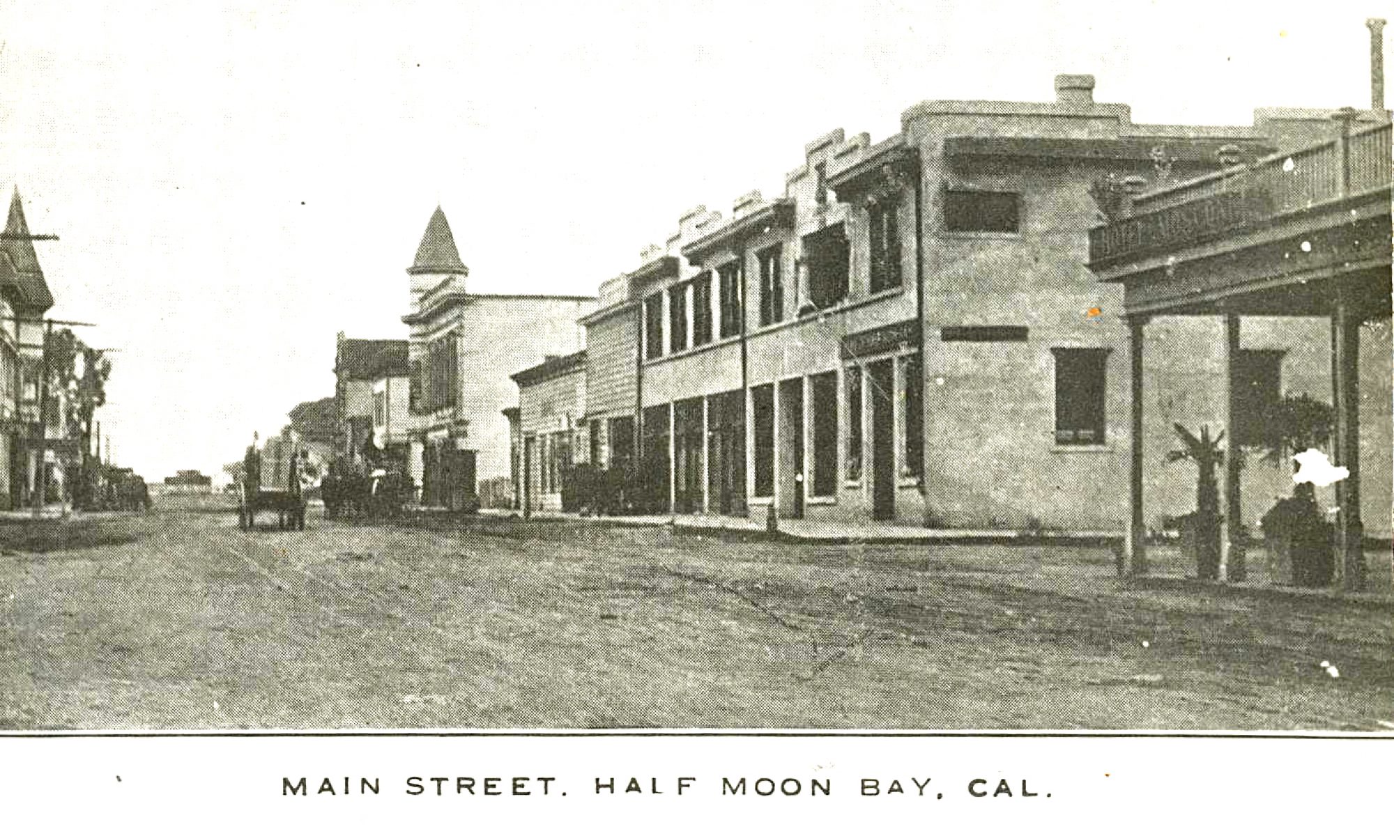
“Continued
population growth and increasing demands for developable land in the San Francisco Bay Area will exertgreat urbanizing pressures on the coastal area of San Mateo County south of Montara Mountain. This area is the last large, close-in district on the peninsula suitable for development. Urban growth will bring increasing demands for municipal and industrial water supplies.”
“Projections
of population for the coastal area indicate an increase from 7,635 persons in 196O to 118,000 in 2020 and to about 238,000 under conditions of maximum development. This great increase will result from the development of the coastal area as a “bedroom area”. This growth will be made possible by the completion of modern standard highway transportation facilities which will allow the working force of the coastal area to commuteto other parts of the San Francisco Bay Area.”


analyzed
to determine if the supplemental water requirements could be supplied by local development. It was found that there were adequate supplies of good quality water for all beneficial uses.
Having
determined that available, physical worksadequate local runoff was to conserve this runoff were evaluated. A total of 43 dam and reservoir sites were studied. Twelve of these sites were given detailed study and were considered, together with appropriate diversion and conveyance facilities, to be possible units of staged development plans to meet the supplemental water requirements of the area. Six alternative staged development plans were formulated. The units of each plan were staged to the year 2020 and the additional units required to meet the estimated maximum supplemental
plan was tested for economic justification for a 50-year period of analysis from 1970 to 2020.”
1.
Denniston2. Purisima No. 1
3.
Purisima No. 2
4.
Lobitos
5.
San Gregorio No.2
6.
Pescadero
7.
Loma Mar No. 2
8.
Worley
9.
Juanita No. 2
10.
Bean Hollow
11.
Pigeon Point
12.
Gazos No. 1
Whitehouse
quarter of Section 2, Township 5 South, Range 6 West, MDB & M, approximately one mile north of El Granada. A mathematical operation study was made for a 4,500 acre-foot reservoir. Small mandatory releases were allowed
for
existing water use and a pool of 250 acre-feet was reserved for sediment deposition and fish. The net yield was 1,300 acre-feet per year.
Recreational
development in the reservoir area is now
limited
to a rifle and pistol range operated by the Brisbane Rod and Gun Club. Poor access, rather steep slopes, limited area available for development, and a lack of trees, make the overall reservoir recreation potential relatively poor.
Fish
and Game resources of the watershed are not
utilized
to any degree. The reservoir would cause the loss
of some
quail habitat, but would not adversely affect other species of wildlife or the small resident trout population. With proper management a self-sustaining population of warmwater game fish could be supported. A mathematical operation study was made for a reservoir
with
a capacity of l6,800 acre-feet. Allowing a sediment,
recreation, and fish
pool of 1,000 acre-feet, a net yield of 3,900 acre-feet per year could be obtained. The reservoir recreation potential is only fair because of the open cover pattern and the scanty tree cover. There are some trees in the canyons, but most of the drier
slopes lack even
brush cover. Access is good and most recreation uses could be accommodated, but the size of the reservoir would limit the amount of use.”
Now with an expected production of just about enough for 1,500 homes, this reservoir was slated to be only a small part of “The Big Picture.” In the document they detail six proposed plans, involving different combinations of reservoirs, that they were considering. I’d like to share their favored plan and some its components in future postings. I think you’ll be startled by the size and scope of their plans and the changes they would have wrought to the vista as we know it today, if they had ever been brought to fruition. Enjoy. John
